


Slideshow – (Source: NATO Maritime Command) – NATO maps 38 historical ordnances in Oslofjord
“By mapping the current situation, we know what we have on the seabed. If war or crisis arises, then we can much quicker and easier determine if objects are new or old, by comparing with the databases we make based on observations like this. (…) Sea mines are legal weapons, and we know that many navies have large amounts of them in stock. So it is highly likely that these will be used in crisis or war. They will hamper our way of living, stopping all logistics coming with merchant shipping. It will also hamper a nation’s ability to receive Allied reinforcements, if needed. No merchant or military unit except for the mine countermeasure vessels will enter an area with a mine threat, » says the current Commander of SNMCMG1 since last January, Royal Norwegian Navy Commander S.G. Henning Knudsen-Hauge.
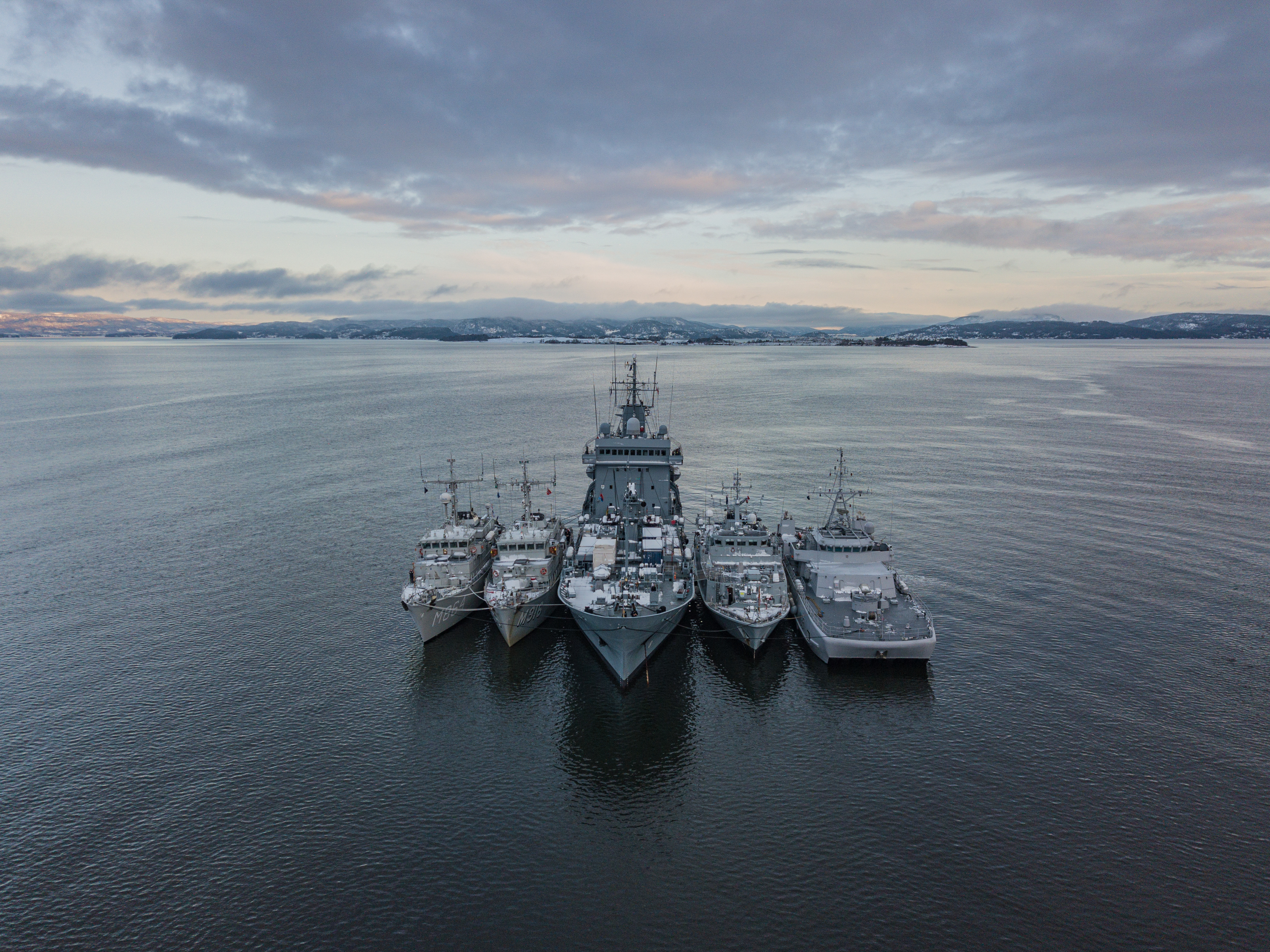
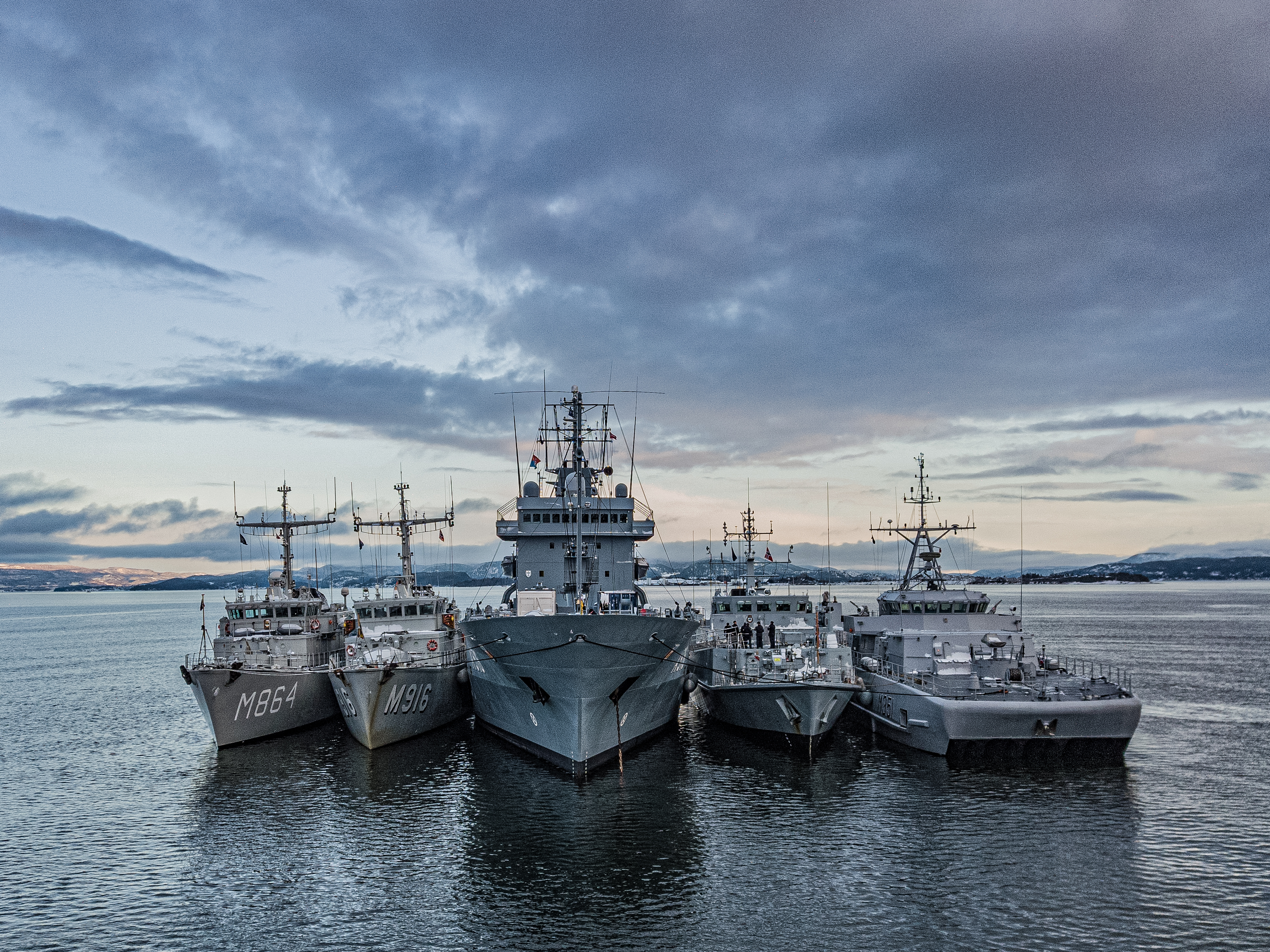
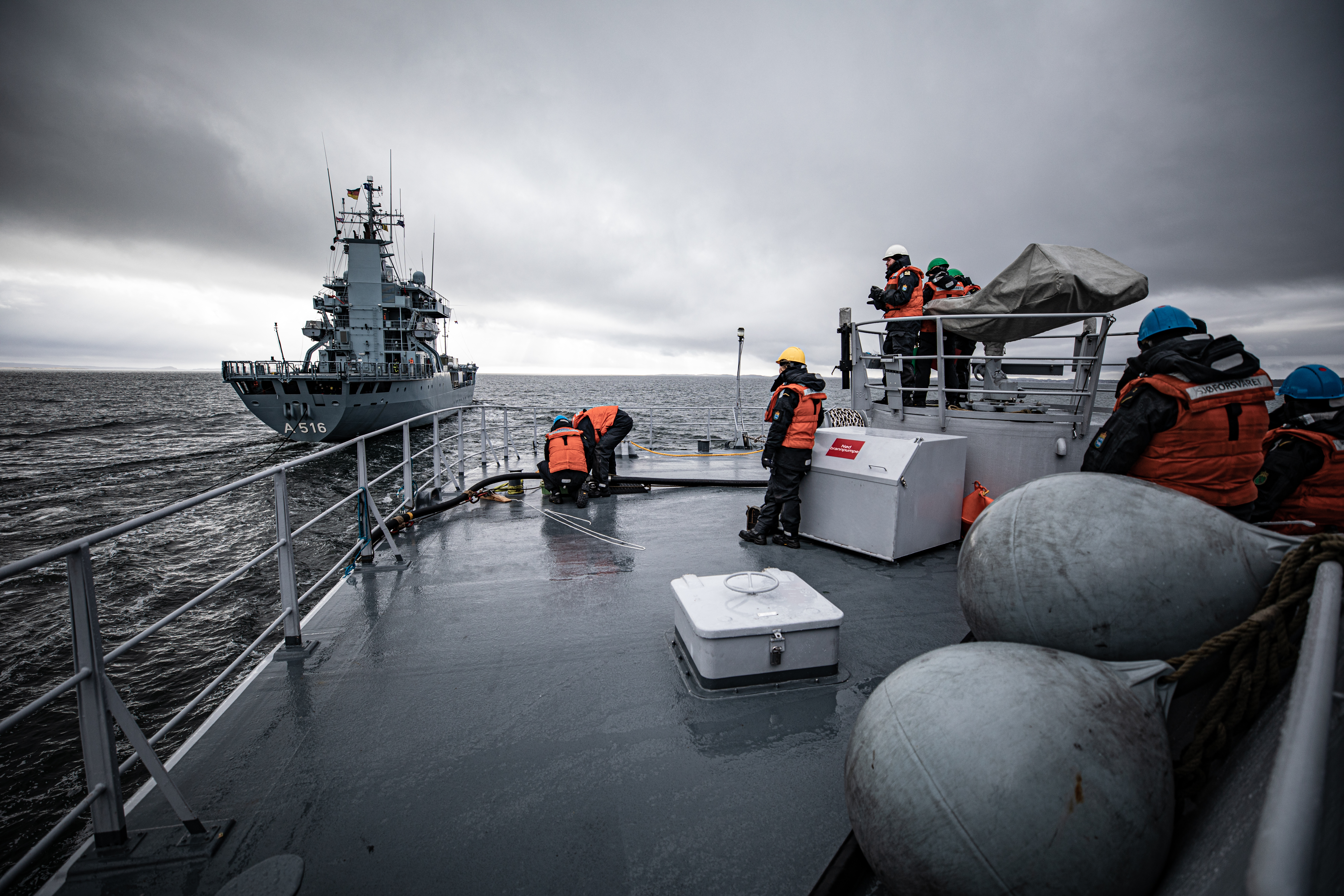
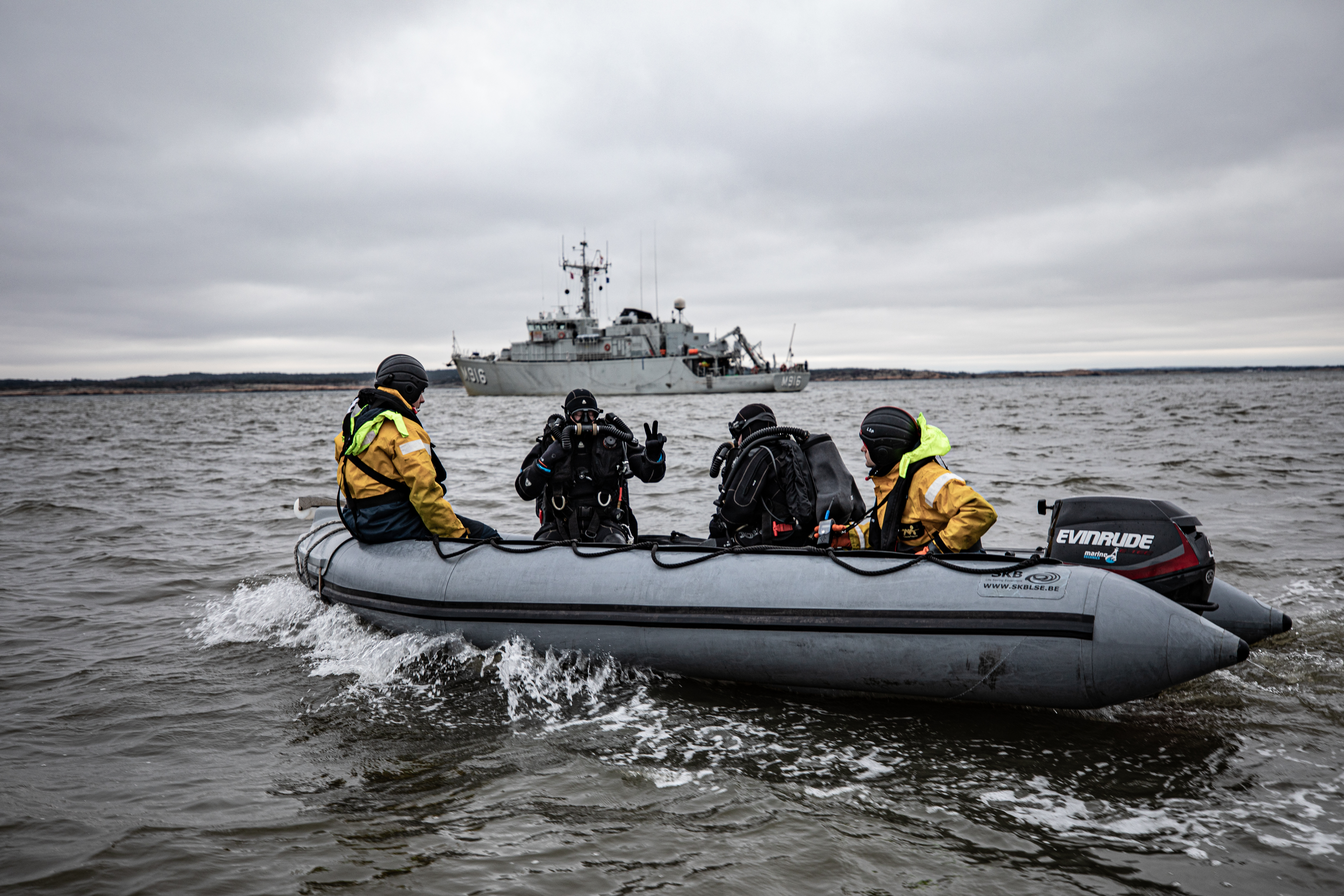
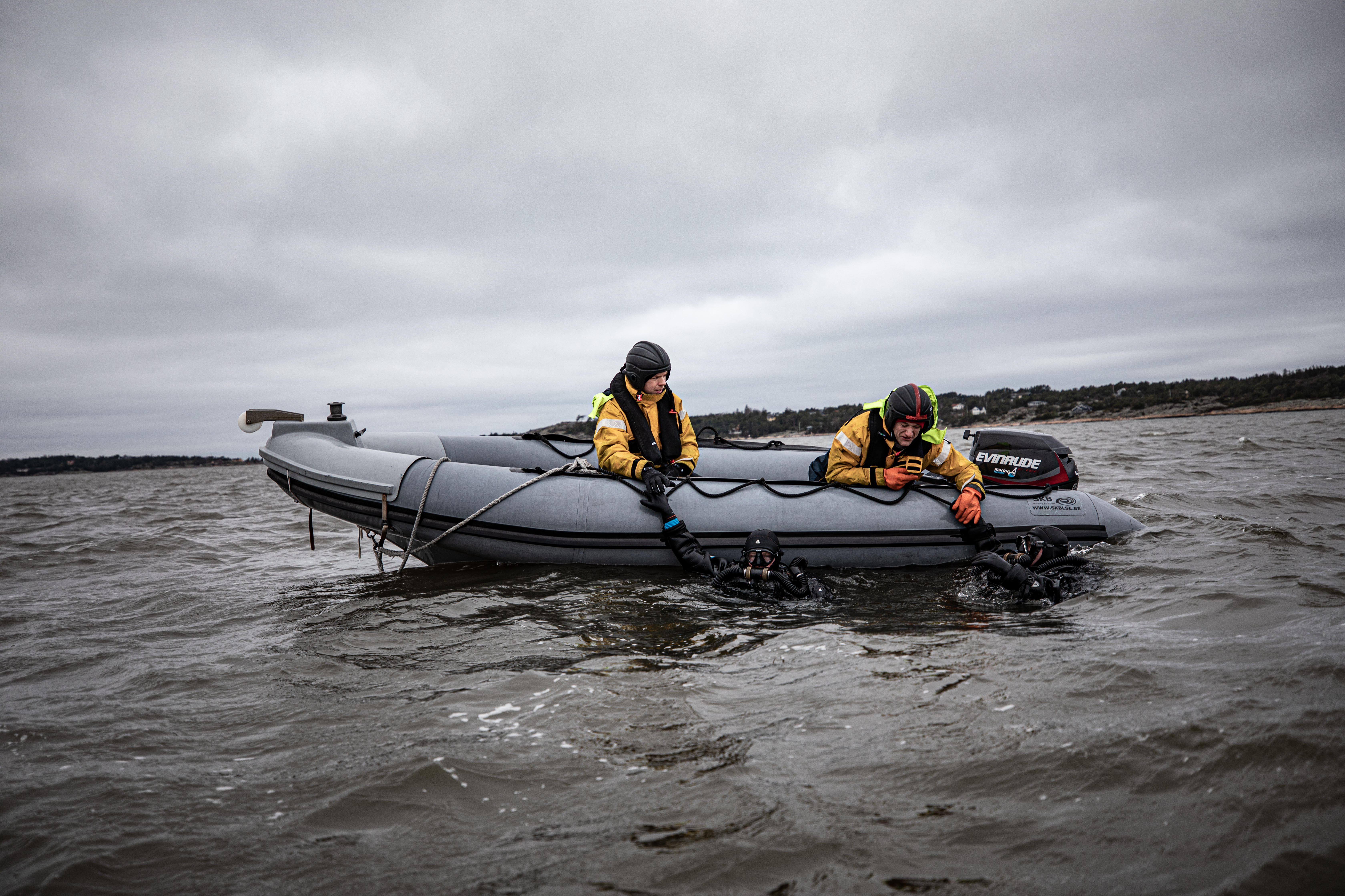
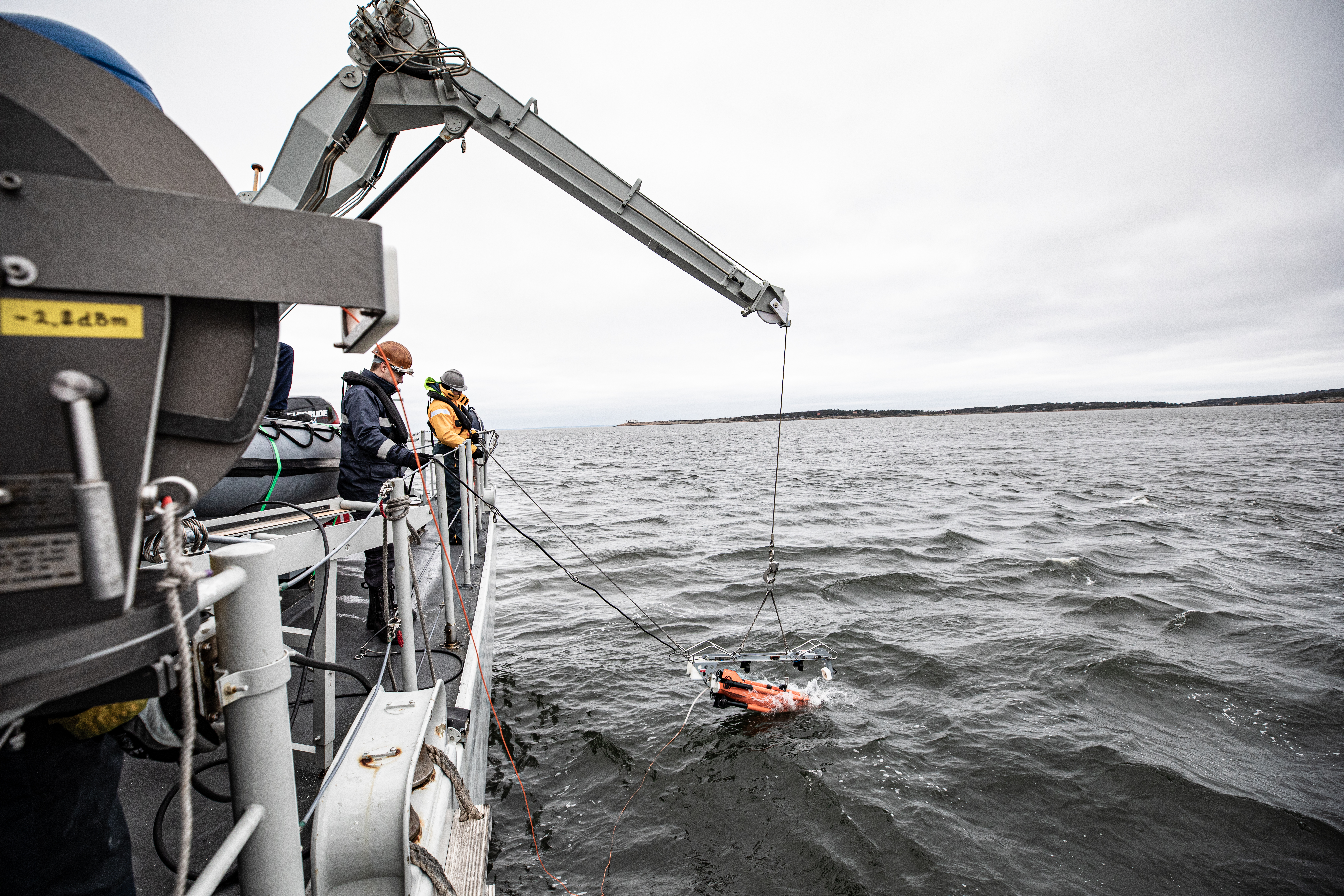
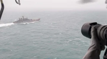
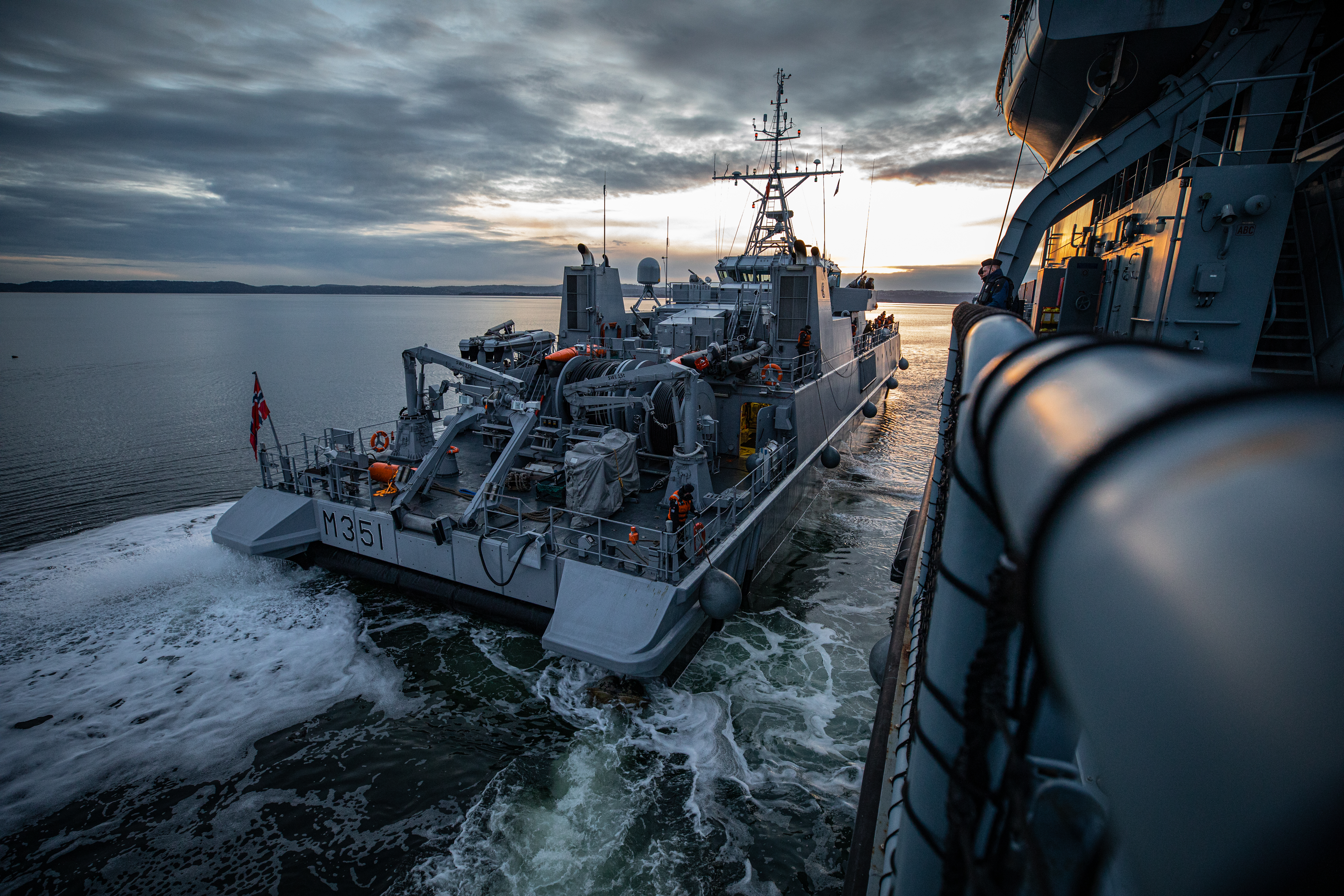
As part of NATO’s latest historic ordnance disposal operations, Standing NATO Mine Countermeasures Group One (SNMCMG1) has mapped 35 underwater mines and 3 aircraft bombs from in the seabed of Norway’s Oslofjord. Around 1,800 mines remain in the Oslofjord from World War II, endangering fishing and shipping in the area if they are not mapped and identified.
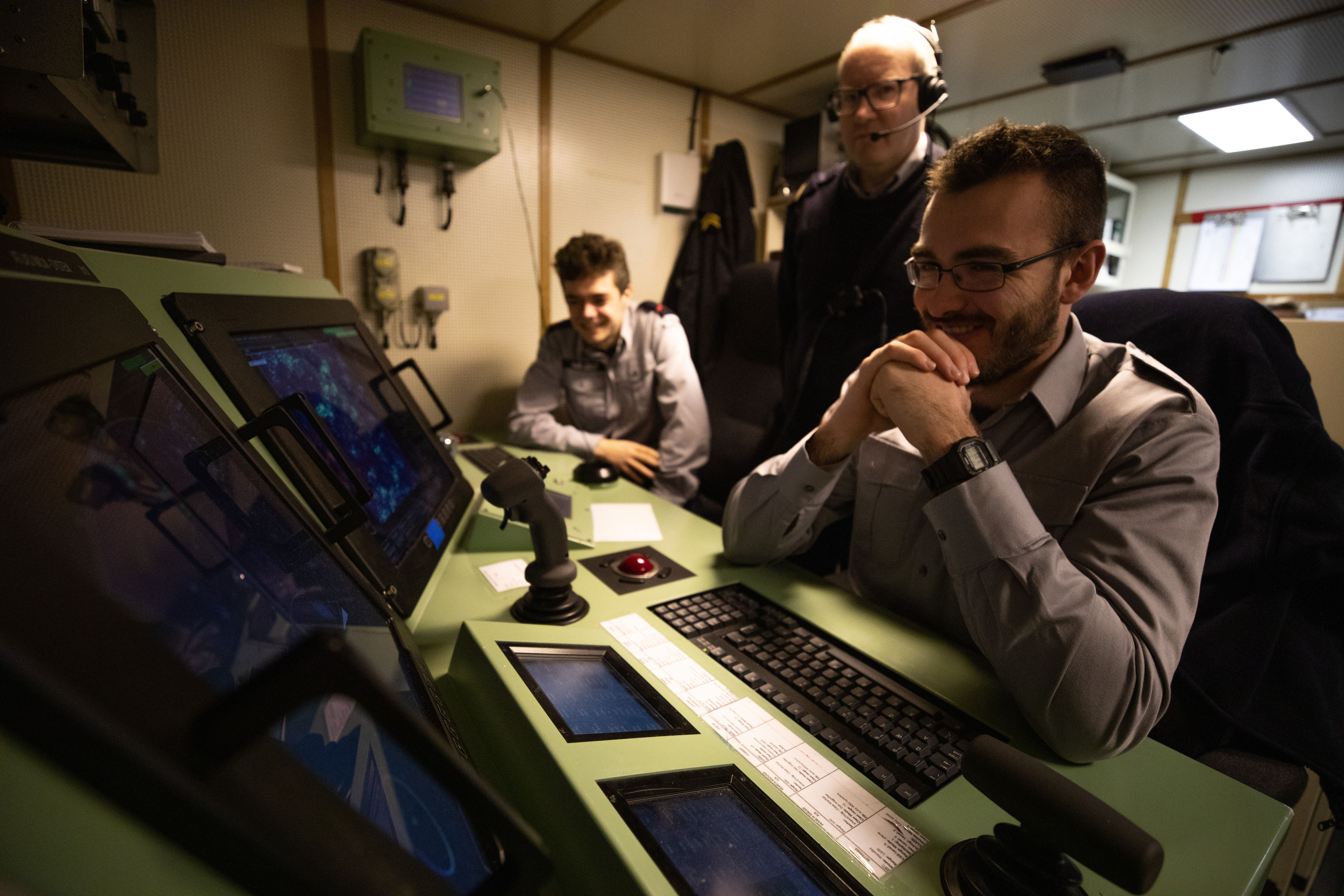
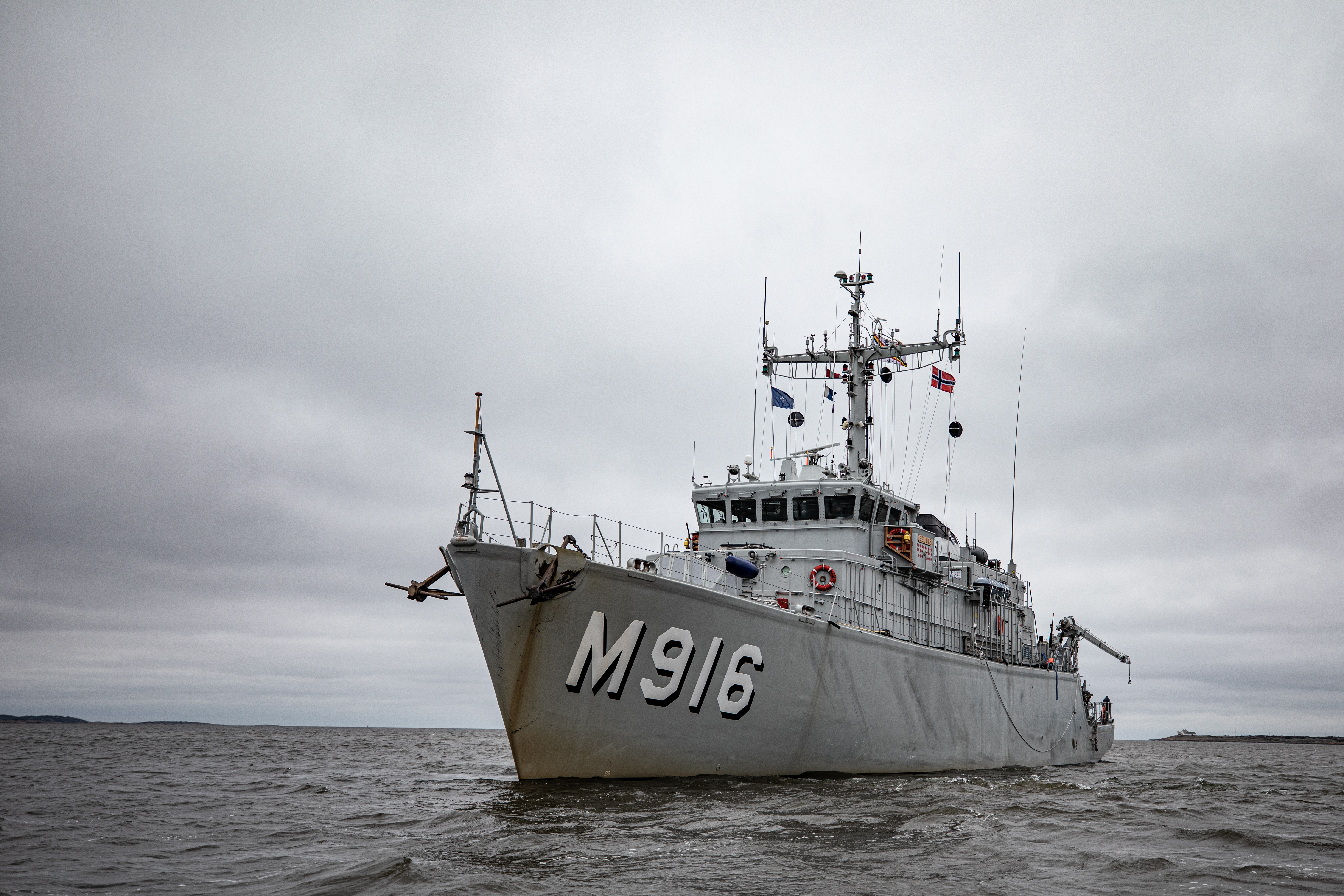
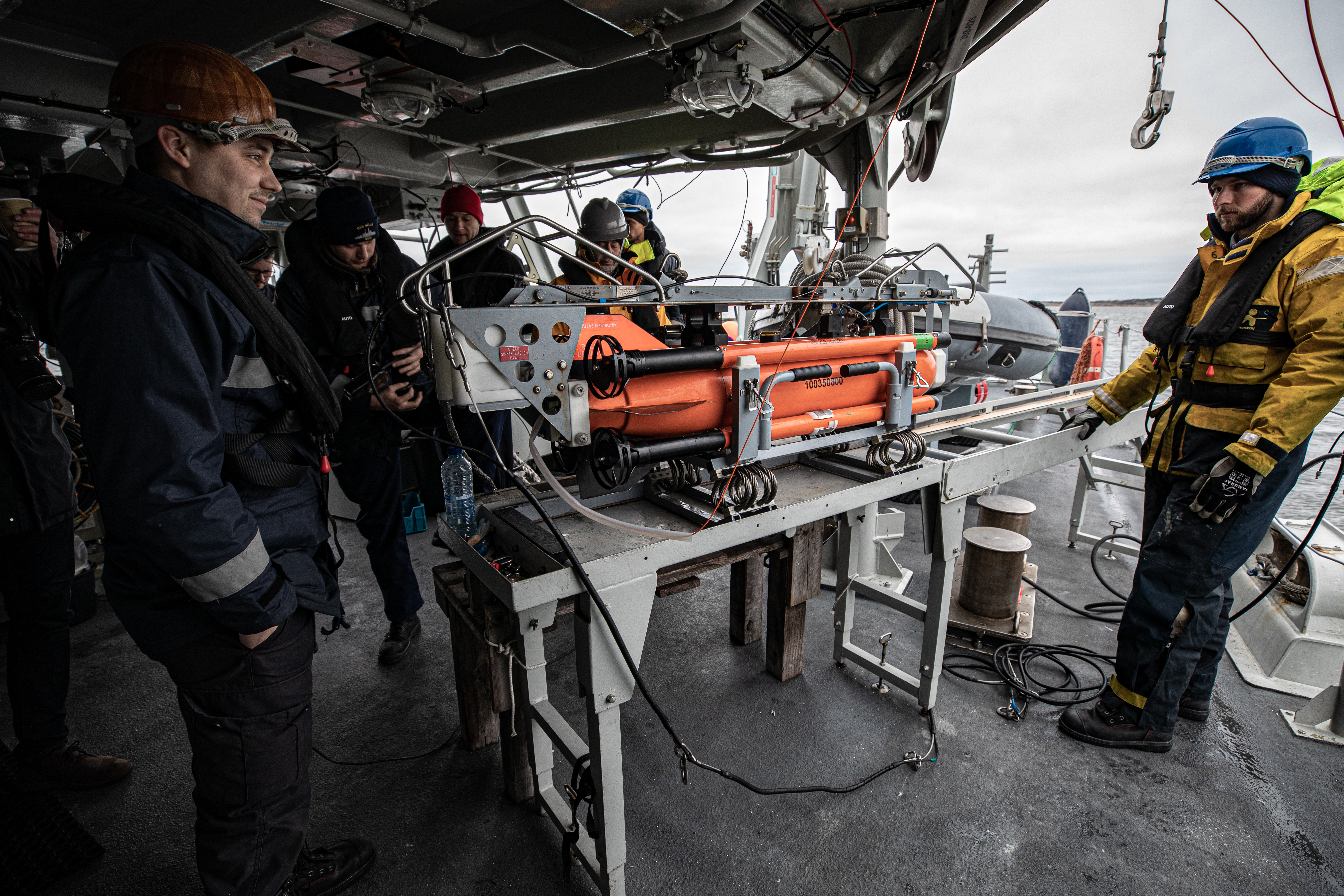
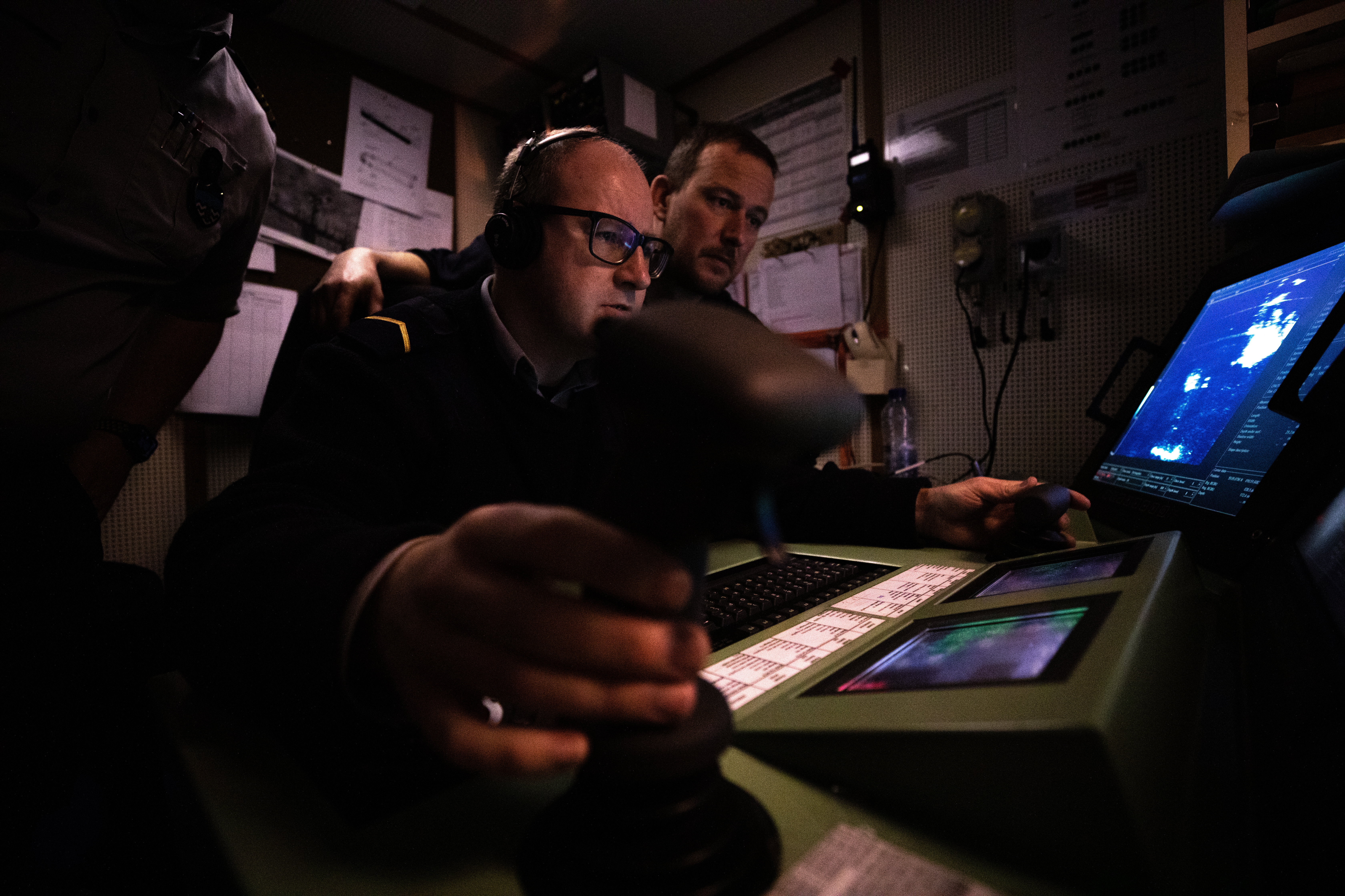
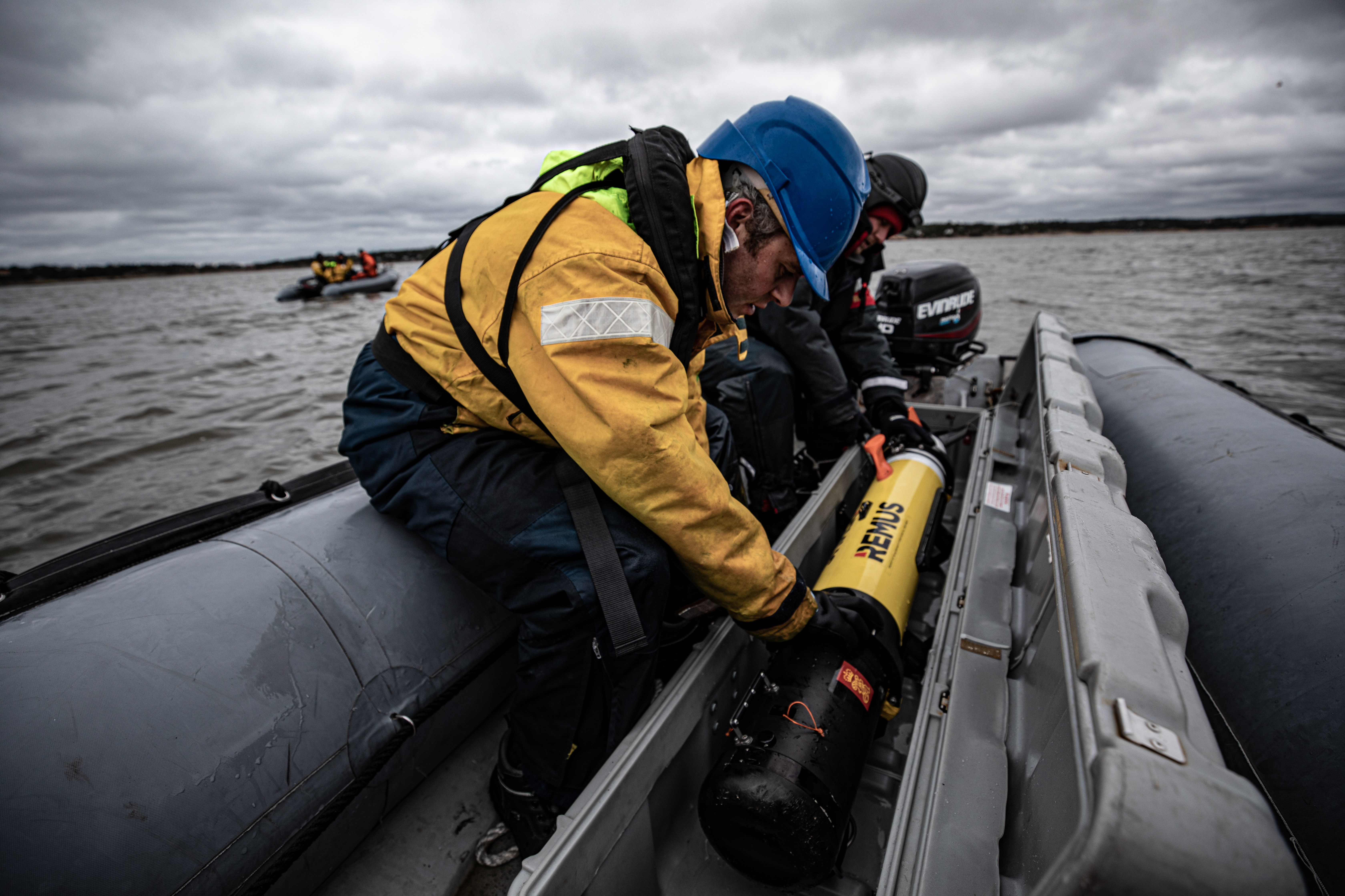
The operations were conducted with support from the Royal Norwegian Mine Warfare Datacentre, who embarked aboard the German flagship FGS Donau during the operations. During the recent years the RNoN Mine Warfare Datacentre have studied historical publications and logbooks, and have traced the actual amounts of mines used, and the precise position where they were dropped in the Oslofjord.
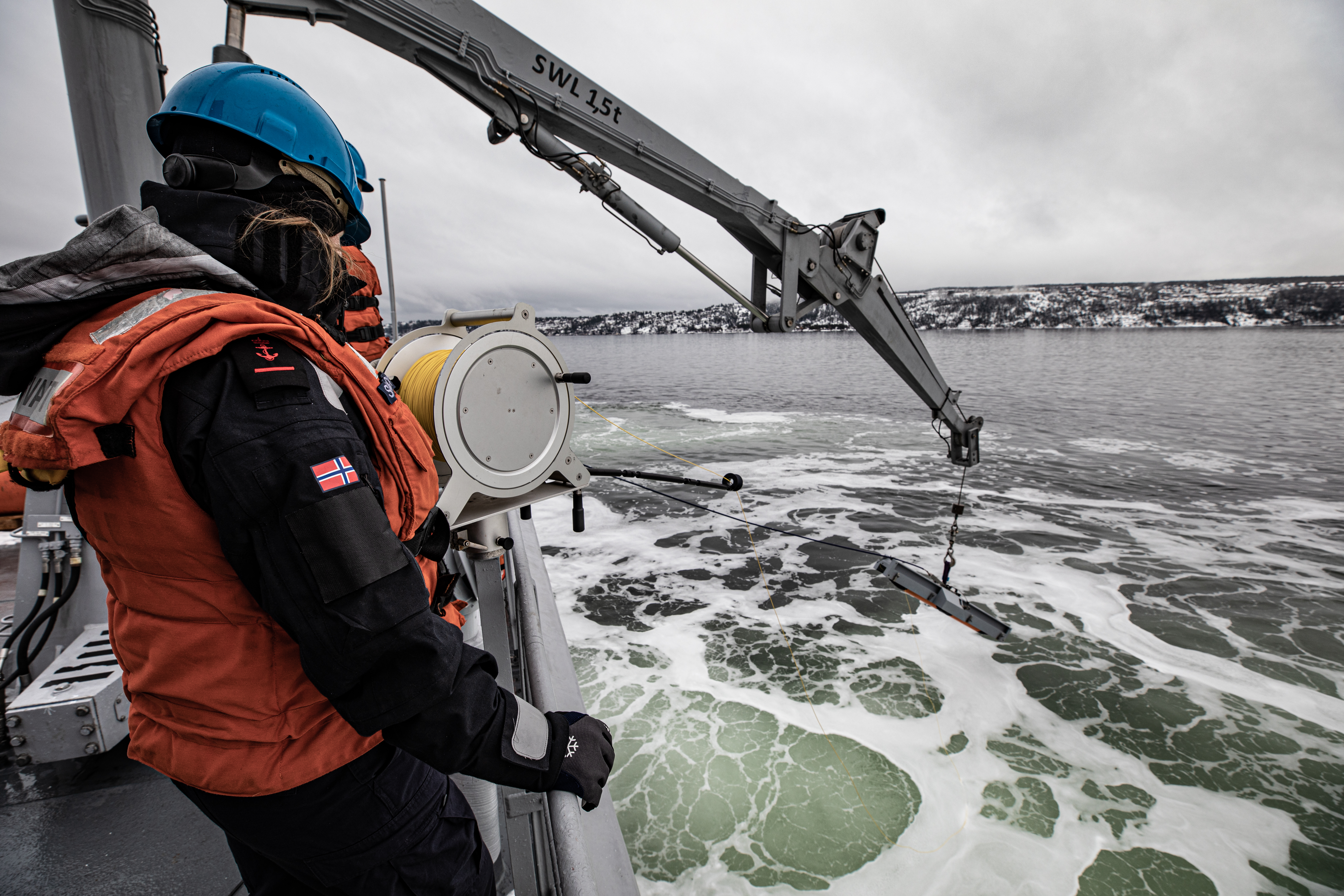
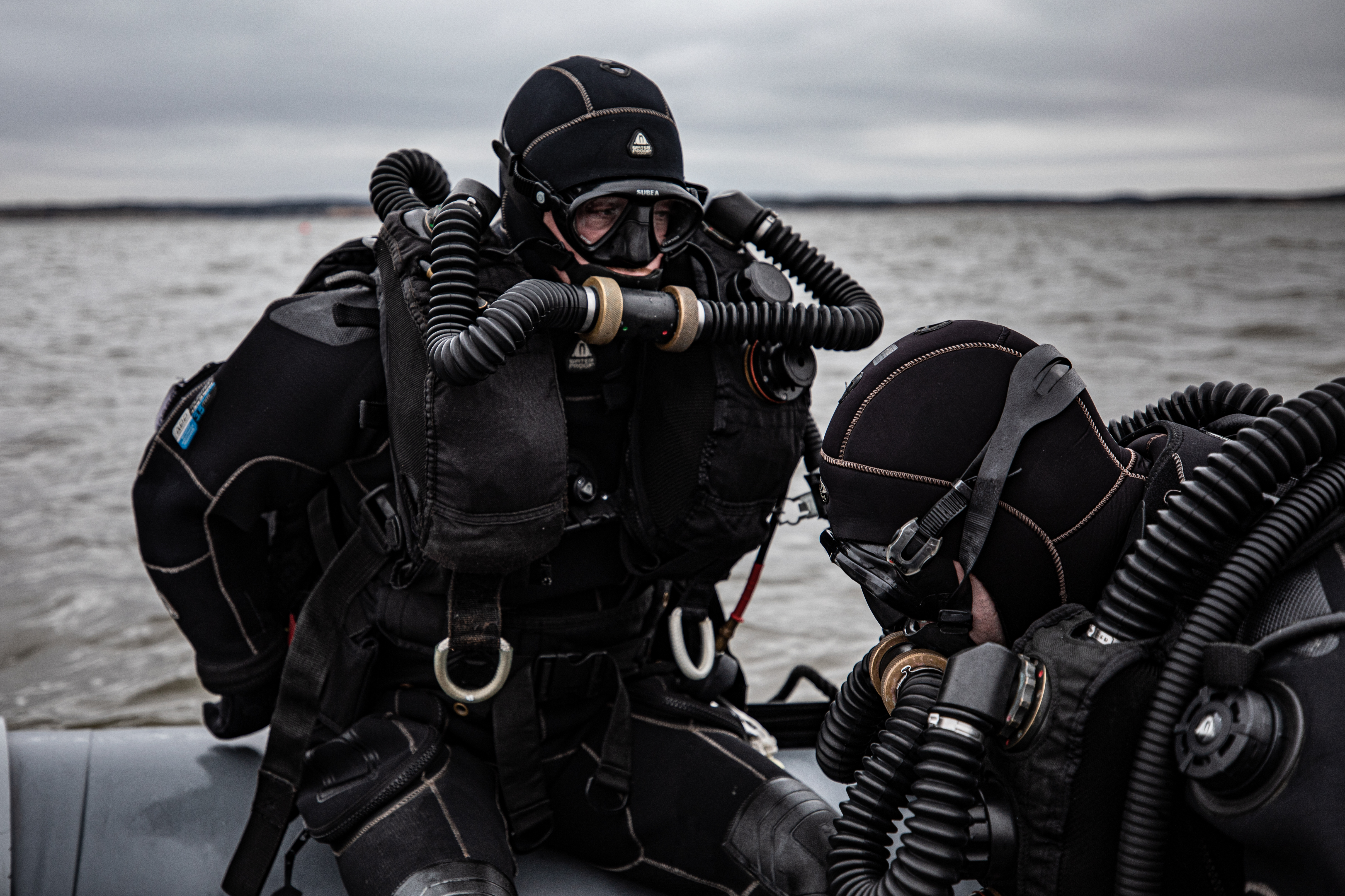
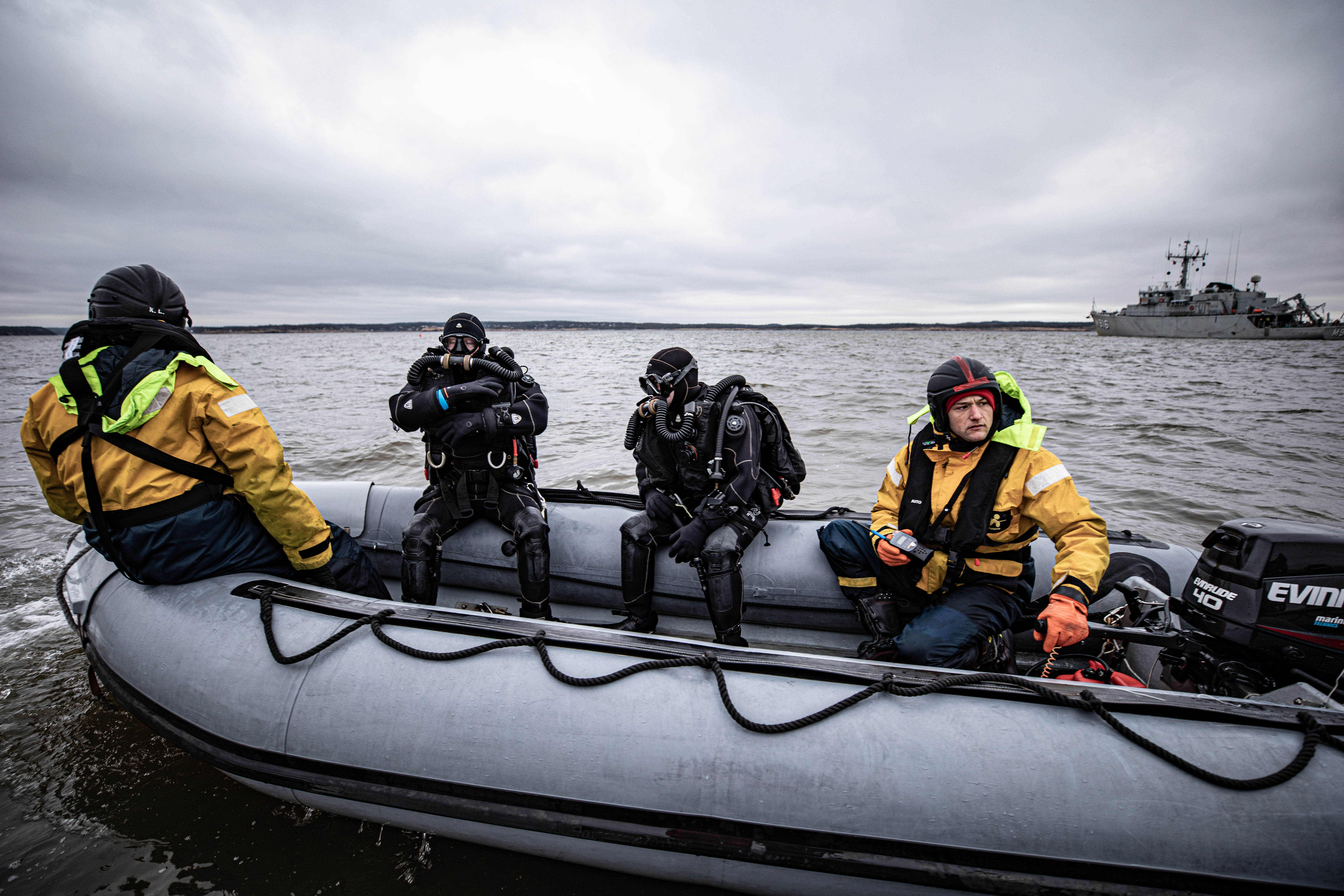
Historic ordnance disposal operation ran between Feb. 24 and 4 March. The operation identified 170 underwater objects in total, after which these were examined more closely by underwater remote controlled vehicles or divers.
Photo Credits © NATO Maritime Command, 2020